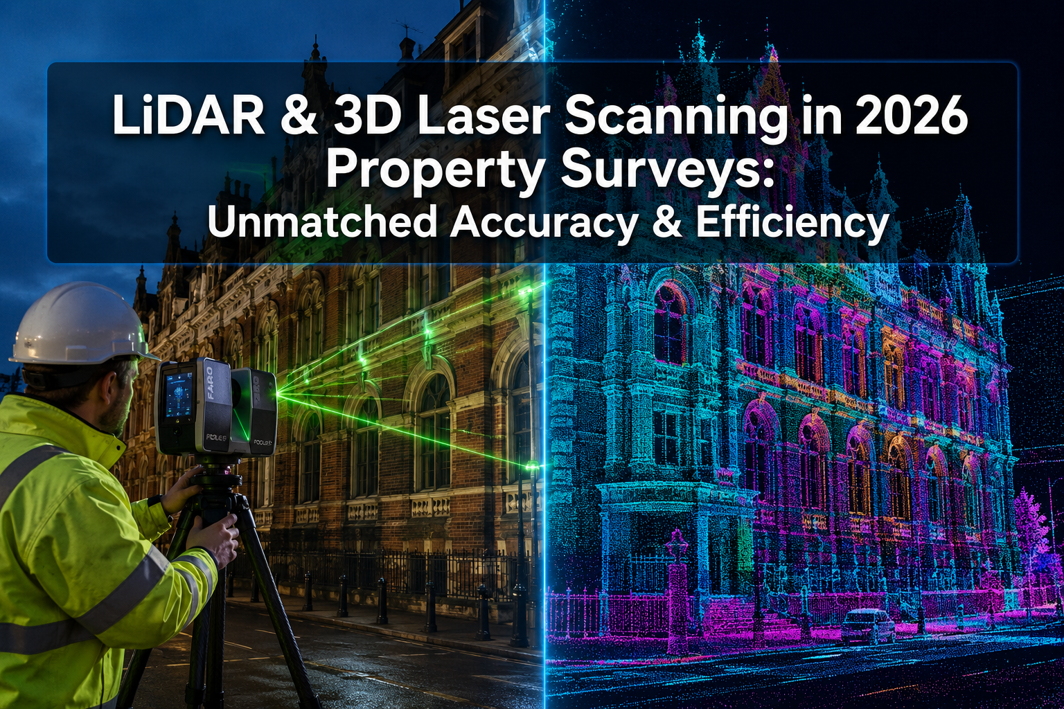

By 2026, over 60% of property buyers report viewing a home virtually before ever setting foot inside it — a shift that has fundamentally changed how land surveyors, valuers, and investors approach remote assessments. The rise of Virtual Property Tours and AR/VR in Land Surveying for Remote Assessments is not a future trend; it is the present standard for professionals who need accurate, accessible, and efficient property data without geographical constraints.
This article breaks down exactly how augmented reality (AR), virtual reality (VR), and immersive 3D technologies are reshaping the surveying industry — and what it means for buyers, investors, and professionals making decisions from a distance.
Key Takeaways
- 🏠 Virtual property tours and AR/VR tools now enable full remote land assessments with near-physical accuracy.
- 📐 LiDAR scanning and 3D photogrammetry deliver measurement accuracy within 0.5–20mm, rivalling traditional on-site methods.
- 🌍 Remote-era investors can assess, compare, and shortlist properties across multiple locations without travel costs or delays.
- 🔗 AR overlays and digital twins allow surveyors to annotate, measure, and share findings in real time with clients anywhere.
- ✅ Professional surveying standards still apply — virtual tools enhance, not replace, qualified RICS-accredited assessments.
How Technology Is Transforming Land Surveying for Remote Assessments
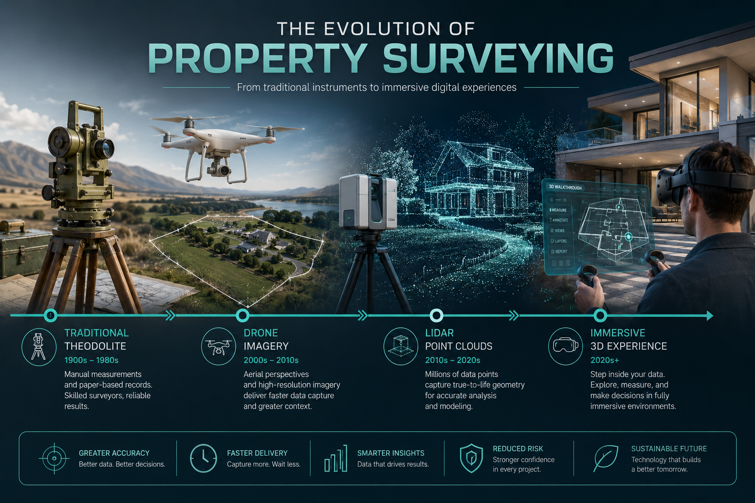
Traditional land surveying required physical presence, manual measurements, and multiple site visits — all time-consuming and costly. Today, Virtual Property Tours and AR/VR in Land Surveying for Remote Assessments have compressed that workflow dramatically.
The Core Technologies Driving Change
Several distinct technologies now underpin remote surveying capability:
| Technology | Primary Use | Accuracy Level |
|---|---|---|
| 360° Virtual Tours | Remote walkthroughs, stakeholder sharing | Visual/spatial |
| LiDAR Scanning | Point cloud mapping, floor plans | ≤20mm [9] |
| Photogrammetry / Orthophoto Maps | Land plot modelling, aerial mapping | Sub-centimetre |
| AR Overlays | On-site data annotation, boundary marking | Real-time |
| VR Headsets | Immersive site review, client presentations | Immersive spatial |
| Drone Imagery | Roof surveys, large plot mapping | High-resolution |
Platforms like RevsSpace support professional 360° virtual tour creation for architects, structural engineers, and property managers, integrating with leading cameras including RICOH, GoPro, and FLIR [1]. Meanwhile, companies like MTek Works deliver nationwide property inspections combining geo-tagged photos, 360° walkthroughs, drone imagery with or without LiDAR, and 3D mapping across property types from residential homes to disaster zones [2].
💡 Pull Quote: "LiDAR-powered floor plans now achieve measurement accuracy within 0.5% — a standard that was once only achievable through expensive on-site laser measurement." [8]
Why Remote Assessments Matter in 2026
The remote-work era permanently altered how people buy, invest in, and manage property. Buyers relocating across regions, overseas investors, and institutional funds acquiring land portfolios all need reliable data without repeated site visits. Virtual property tours solve this by delivering:
- Spatial accuracy — true-to-scale 3D models rather than flat photography
- Time efficiency — multiple properties reviewed in hours, not days
- Cost reduction — fewer physical visits, lower travel and logistics spend
- Stakeholder accessibility — clients, solicitors, and lenders can all view the same model simultaneously
For those exploring different types of property surveys, understanding how virtual tools complement traditional assessments is now an essential part of the decision-making process.
AR/VR Tools and Platforms Powering Virtual Property Surveys
The market for proptech surveying tools has matured rapidly. Several platforms now offer end-to-end solutions that go far beyond simple video walkthroughs.
Matterport and 3D Digital Twins
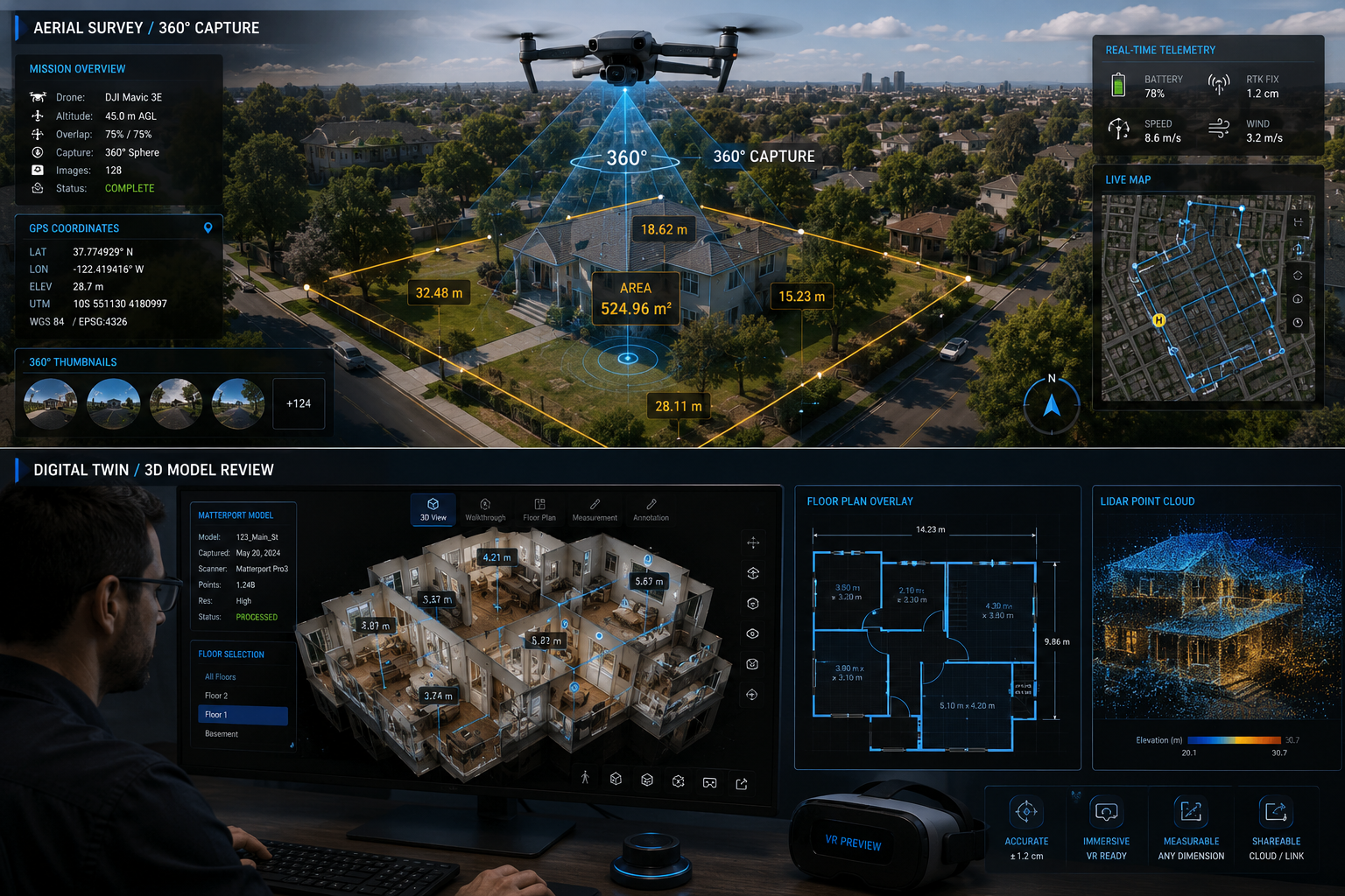
Matterport has become the industry benchmark for 3D virtual tours in property and construction. Global Land Surveying uses Matterport tours in the Dallas–Fort Worth area to help builders, developers, and contractors explore sites remotely with true-to-scale interactive walkthroughs [3]. These digital twins — virtual replicas of physical spaces — allow:
- Remote measurement of rooms, corridors, and external features
- Annotation of defects or areas of concern
- Integration with BIM (Building Information Modelling) workflows
- Shareable links for solicitors, lenders, or planning authorities
Envisio360 takes this further with high-precision as-built 3D scanning, virtual tours, and detailed floor plans for real estate, insurance, and contractor use — reducing documentation errors and streamlining approval processes [4].
Drone Photogrammetry and Orthophoto Mapping
For land surveying specifically — boundary assessments, plot mapping, and topographic analysis — drone-based photogrammetry is transformative. Sky Pika captures homes, buildings, and plots of land to render virtual 3D maps and orthophoto maps accessible online [5]. These orthomosaic maps provide:
- Accurate boundary delineation
- Elevation and contour data
- Vegetation and drainage analysis
- Before/after documentation for planning applications
This is particularly valuable for subsidence surveys and roof surveys, where aerial data can reveal ground movement or structural deterioration that ground-level inspection might miss.
VR Platforms for Immersive Site Review
Vinvr specialises in immersive VR experiences for land surveying, remote inspection, accurate site measurements, and automated updates — serving commercial construction, residential development, and pre-construction planning [6]. VR headset integration allows surveyors and clients to:
- "Walk" a site before construction begins
- Review proposed boundary changes in context
- Identify access issues or planning constraints visually
- Present findings to non-technical stakeholders in an intuitive format
A 2025 study introduced VRISE, an immersive VR laboratory designed to replicate ground-based and aerial surveying tasks through customisable modules — demonstrating that VR platforms can meaningfully reduce cognitive load and improve accuracy in surveying education and professional training.
360° Tours for Real Estate and Remote Buyers
For residential property specifically, platforms like Remote Home Showings offer 360° 3D virtual tours, video tours, photography, and drone services that enable buyers to shortlist and assess properties from anywhere in the world [7]. RealVu creates interactive virtual walkthroughs using advanced camera technology, with LiDAR-powered 2D floor plans accurate to within 0.5% [8].
See3D offers a comprehensive suite including immersive 360° virtual tours, LiDAR point clouds with ≤20mm accuracy, precise 2D floor plans, and aerial photography — catering to architects, contractors, and BIM-driven workflows [9].
For buyers considering a homebuyer survey or a full RICS building survey, virtual tour data can provide valuable pre-survey context, helping surveyors focus their on-site time on areas of specific concern.
Practical Applications of Virtual Property Tours and AR/VR in Land Surveying for Remote Assessments
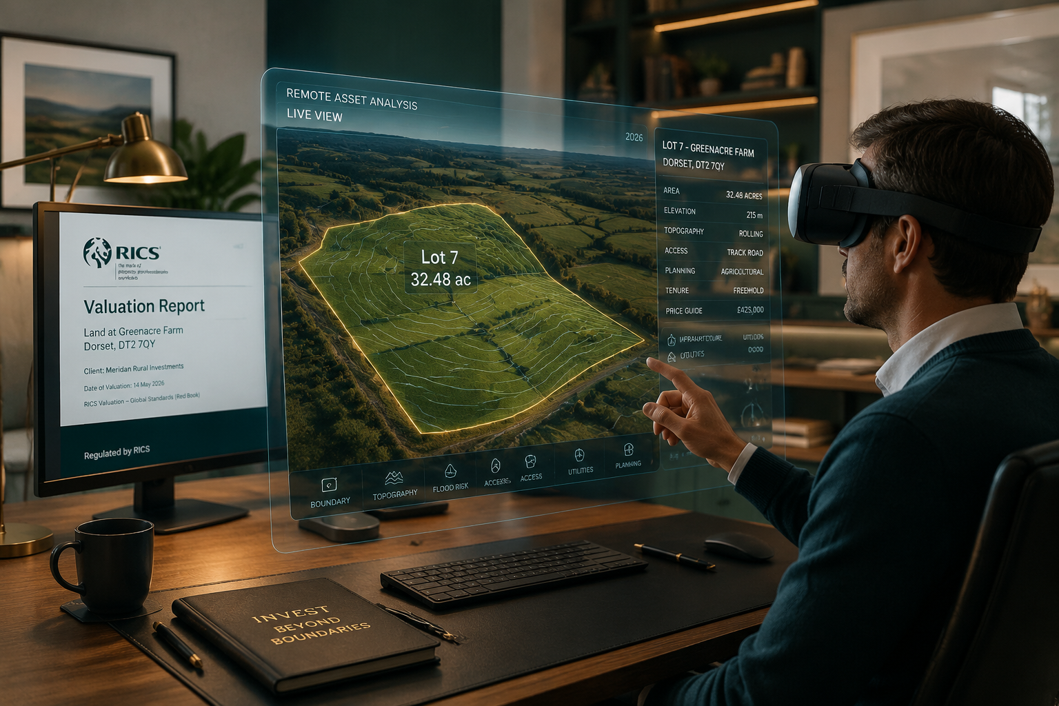
Understanding the tools is one thing — knowing how they are applied in real-world surveying and investment scenarios is what delivers practical value.
🏗️ Pre-Purchase Due Diligence
Remote investors and buyers use virtual tours to conduct initial due diligence before commissioning formal surveys. A 3D walkthrough can flag:
- Visible damp patches or staining (relevant to a damp survey)
- Roof condition concerns (informing whether a roof survey is needed)
- Structural anomalies worth escalating to a structural survey
- Layout and boundary issues affecting valuation
This pre-screening approach saves time and money — buyers can prioritise which properties warrant the cost of a full professional assessment.
📊 Valuation and Insurance Assessments
Virtual and AR/VR data is increasingly being used to support formal valuations. 360rior assists real estate professionals in creating immersive 3D digital copies of properties for listing, appraising, and documenting renovation projects [10]. For property valuation purposes, accurate floor plans and spatial data derived from LiDAR scanning provide a reliable evidence base.
This is particularly relevant for:
- Insurance reinstatement valuations — where accurate floor area and construction data is critical
- Capital gains tax valuations — requiring precise property condition documentation at a specific point in time
- Dilapidations surveys — where before/after 3D models provide objective evidence of condition changes
🌐 Commercial and Infrastructure Assessments
Beyond residential property, Virtual Property Tours and AR/VR in Land Surveying for Remote Assessments are widely applied in commercial contexts. MTek Works covers water tanks, cell towers, commercial buildings, retail units, and disaster zones [2] — environments where physical access is hazardous, expensive, or logistically complex.
For commercial building surveys, virtual data can:
- Reduce the number of site visits required
- Enable multi-party remote review (investor, lender, insurer simultaneously)
- Provide a permanent digital record for asset management purposes
🎓 Surveying Education and Training
The VRISE platform study (2025) highlights an emerging application: using VR to train the next generation of surveyors. By replicating ground-based and aerial surveying tasks in a virtual environment, trainees can practice measurement techniques, equipment handling, and site assessment without the cost and risk of repeated field visits.
Limitations and Professional Considerations
While the benefits are substantial, virtual and AR/VR tools do not replace qualified professional assessments. Several important limitations apply:
What Virtual Surveys Cannot Do
- ❌ Detect hidden defects — damp behind plasterwork, structural movement within walls, or subsidence below ground level require physical investigation
- ❌ Provide legally binding measurements — most virtual tour data is indicative, not formally certified
- ❌ Replace RICS-accredited opinions — lenders, solicitors, and courts require qualified surveyor sign-off
- ❌ Assess non-visual conditions — air quality, ground contamination, and thermal performance require specialist equipment
Best Practice: Hybrid Surveying Approach
The most effective model in 2026 combines virtual tools with professional expertise:
- Virtual tour / drone survey — initial remote assessment and shortlisting
- Desktop valuation — preliminary valuation using available data
- Professional site survey — RICS-accredited surveyor conducts targeted physical inspection informed by virtual data
- Digital report delivery — findings shared via annotated 3D model or interactive report
This hybrid approach maximises efficiency while maintaining the professional rigour that protects buyers, lenders, and investors. When choosing the right property survey, understanding where virtual tools add value — and where they don't — is essential.
Conclusion: Actionable Next Steps for Buyers, Investors, and Surveyors
Virtual Property Tours and AR/VR in Land Surveying for Remote Assessments have moved from novelty to necessity. The technology is accurate, accessible, and increasingly affordable — and it is reshaping how property decisions are made across every sector of the market.
✅ Actionable Next Steps
For property buyers:
- Request a 3D virtual tour or Matterport walkthrough before booking any physical viewing
- Use virtual data to identify areas of concern before commissioning a survey
- Always follow up with a qualified RICS building survey for any serious purchase
For investors:
- Integrate drone photogrammetry and orthophoto mapping into land acquisition due diligence
- Use digital twins to manage and monitor asset portfolios remotely
- Ensure virtual data is supplemented by formal property valuations for financial and legal purposes
For surveyors and professionals:
- Invest in LiDAR-capable equipment and 360° camera systems to expand remote service offerings
- Explore VR training platforms to upskill teams efficiently
- Position virtual tour capabilities as a value-added service alongside traditional RICS assessments
The future of land surveying is immersive, data-rich, and increasingly remote — but it still rests on the foundation of qualified professional judgement. The smartest professionals in 2026 are those who combine both.
References
[1] RevsSpace – https://www.revsspace.ai/?utm_source=openai
[2] MTek Works – https://www.mtekworks.com/?utm_source=openai
[3] Matterport 3D Tours – https://gls-inc.com/matterport-3d-tours/?utm_source=openai
[4] Envisio360 – https://www.envisio360.com/?utm_source=openai
[5] Sky Pika Ortho – https://www.skypika.com/ortho?utm_source=openai
[6] Vinvr – https://www.vinvr.com/home?utm_source=openai
[7] Remote Home Showings – https://www.remotehomeshowings.com/?utm_source=openai
[8] RealVu – https://www.realvu.cam/?utm_source=openai
[9] See3D – https://www.see3d.ai/?utm_source=openai
[10] 360rior – https://360rior.com/?utm_source=openai