LiDAR and 3D Laser Scanning in 2026 Property Surveys: Achieving Unmatched Accuracy and Efficiency
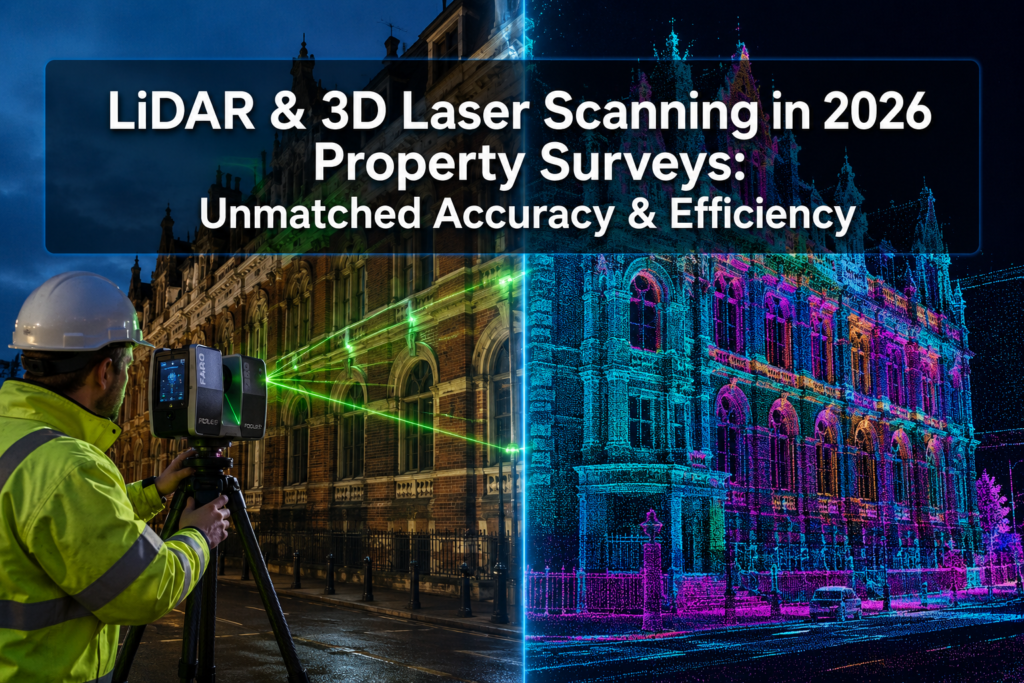
A single terrestrial laser scanner can now capture over two million data points per second — producing a complete 3D model of a building with accuracy down to ±1–2 mm [1]. That level of precision, once reserved for aerospace engineering, is now standard practice in property surveying. LiDAR and 3D Laser Scanning in 2026 Property […]