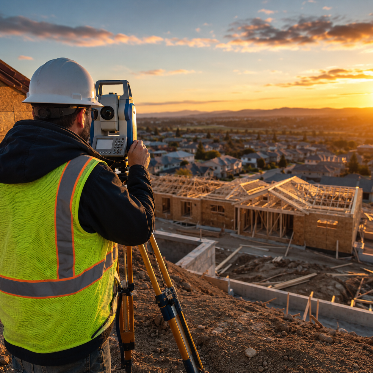

By 2026, more than 1 billion people worldwide live within 10 metres of sea level — a figure that makes the discipline of climate-resilient surveying not just professionally relevant, but urgently necessary. The field of Climate-Resilient Surveying: Adapting Techniques for Coastal Erosion, Flood Zones, and Disaster Management has moved from a niche specialism into mainstream practice, driven by accelerating sea-level rise, intensifying storm events, and regulators demanding evidence-based assessments before any coastal or flood-zone development proceeds.
Surveyors who once relied on static benchmarks and historical flood maps now face landscapes that shift between site visits. Shorelines retreat. Ground conditions change after storms. Flood plain boundaries drawn a decade ago no longer reflect current risk. The profession must evolve — and it is doing so rapidly, integrating drone technology, artificial intelligence, and real-time monitoring into workflows that were largely paper-based a generation ago.
Key Takeaways
- Climate change is reshaping coastal and flood-zone landscapes faster than traditional survey methods can track, demanding new tools and techniques.
- Drone-based LiDAR, AI-driven predictive modelling, and real-time monitoring surveys are now essential components of climate-resilient practice.
- Regulatory frameworks in 2026 increasingly require surveyors to demonstrate climate risk awareness in assessments for coastal, flood-zone, and disaster-affected properties.
- Nature-based solutions — including dune restoration and managed retreat — are reshaping how surveyors assess long-term structural viability.
- Surveyors operating in vulnerable areas must understand both the technical tools and the compliance landscape to deliver credible, defensible reports.
Why Climate Change Is Redefining Surveying Practice
The relationship between climate change and property surveying has never been more direct. Storm surge events that were once classified as one-in-a-hundred-year occurrences are now arriving every decade or less in many coastal regions. Erosion rates along soft-rock coastlines have doubled in some areas. Flood plain extents mapped under older hydrological assumptions now underestimate actual inundation risk by significant margins.
For surveyors, this creates a fundamental challenge: how do you produce a reliable condition assessment or structural report for a property whose ground conditions, drainage patterns, and exposure to water ingress may change materially within the lifespan of a mortgage?
The answer lies in integrating climate risk data directly into survey methodology. The USGS Coastal Change Hazards Portal provides surveyors and planners with data on storm-induced coastal erosion, extreme water levels, historical shoreline changes, and sea-level rise vulnerability — all of which should inform baseline assumptions before a site visit even begins [1]. Similarly, NOAA's Coastal Resilience Mapping Portal offers interactive visualisation of future flood risks from sea-level rise and storm surges, enabling surveyors to contextualise a property's current condition against projected future exposure [2].
The practical implication is clear: a building survey conducted without reference to these datasets is incomplete. Surveyors who ignore climate trajectory data risk producing reports that are accurate today but misleading within five years.
The Regulatory Pressure Driving Change
Stricter environmental regulations are accelerating the adoption of climate-informed surveying. In England, the National Planning Policy Framework requires local authorities to apply the sequential test and exception test for flood-zone development. Insurance underwriters are demanding more granular flood risk assessments. Mortgage lenders are beginning to factor coastal erosion projections into lending decisions.
For surveyors operating in coastal and flood-prone areas, this means that a standard RICS building survey must increasingly address not just present condition but future climate exposure. The Massachusetts StormSmart Coasts Program demonstrates how proactive regulatory frameworks can guide surveyors and local authorities in addressing erosion, flooding, and climate change impacts through structured assessment protocols [6].
Core Techniques in Climate-Resilient Surveying: Adapting Techniques for Coastal Erosion, Flood Zones, and Disaster Management
The toolkit available to climate-resilient surveyors has expanded dramatically. Below are the key methods now considered best practice in vulnerable environments.
Drone-Based LiDAR and Photogrammetry
Unmanned aerial vehicles (UAVs) equipped with LiDAR sensors can capture centimetre-accurate topographic data across large coastal areas in a fraction of the time required by traditional ground survey. This is particularly valuable for:
- Mapping active erosion fronts where ground access is unsafe
- Generating digital elevation models (DEMs) that reveal subtle drainage patterns
- Monitoring cliff recession rates between survey cycles
- Assessing post-storm damage across wide areas rapidly
Washington State's Department of Ecology uses coastal zone mapping and erosion monitoring programmes that rely on precisely this kind of remote sensing to assist local governments in protecting shorelines amid rising sea levels [3]. The data produced feeds directly into planning decisions and infrastructure investment priorities.
AI-Driven Predictive Modelling
Artificial intelligence is transforming how surveyors interpret the data they collect. Machine learning models trained on historical storm, erosion, and flood datasets can generate probabilistic forecasts of future ground conditions at specific sites. This allows surveyors to present clients with scenario-based risk assessments rather than single-point-in-time snapshots.
The Climate Mapping for Resilience and Adaptation (CMRA) Assessment Tool, developed through NOAA, provides exactly this kind of multi-hazard climate information — covering extreme heat, drought, wildfire, flooding, and coastal inundation — to support climate-informed infrastructure decisions [8]. Surveyors who integrate outputs from tools like CMRA into their reports are delivering a materially higher standard of service.
Real-Time Monitoring Surveys
For high-risk or high-value assets in flood zones, one-off surveys are insufficient. Monitoring surveys — using embedded sensors, tilt meters, crack monitors, and automated water level gauges — allow continuous tracking of structural behaviour under changing environmental conditions. This approach is particularly relevant for:
| Asset Type | Monitoring Priority | Key Indicators |
|---|---|---|
| Coastal retaining walls | High | Displacement, crack width, hydrostatic pressure |
| Flood-zone foundations | High | Settlement, groundwater level, moisture ingress |
| Cliff-top structures | Critical | Slope movement, erosion proximity, drainage |
| Estuarine infrastructure | Medium-High | Scour depth, tidal influence, corrosion |
Schedule of Condition Reporting in Disaster Contexts
Following a flood or coastal storm event, rapid and accurate condition documentation is essential for insurance claims, emergency planning, and recovery prioritisation. Schedule of condition reports provide a timestamped baseline against which post-event damage can be measured objectively. Surveyors trained in disaster response protocols can deploy these reports within hours of an event, providing data that supports both immediate recovery and longer-term resilience planning.
Structural Assessment in Flood-Affected Properties
Water ingress following flooding creates a cascade of structural problems that may not be immediately visible: compromised foundations, saturated masonry, timber decay, and hidden damp that accelerates deterioration over months. A thorough structural survey conducted after flood exposure must go beyond surface observation to assess substructure integrity, drainage capacity, and the long-term implications of repeated inundation cycles.
"A building that has flooded once is not simply a building that got wet. It is a building whose risk profile has fundamentally changed — and that change must be reflected in every subsequent assessment."
Coastal Erosion Assessment: Methods and Compliance Frameworks
Coastal erosion assessment sits at the intersection of geotechnical surveying, environmental science, and planning compliance. The U.S. Army Corps of Engineers (USACE) has developed scientific capabilities specifically to reduce disaster risk and support sustainable water resource infrastructure, addressing challenges from climate change and extreme weather [4]. Their methodological frameworks offer a useful model for surveyors operating in any coastal jurisdiction.
Shoreline Change Analysis
Effective erosion assessment requires historical context. Surveyors should access historical aerial photography, Ordnance Survey records, and coastal monitoring datasets to establish a long-term erosion rate for any given shoreline segment. This rate, expressed in metres per year, then informs setback calculations and structural viability assessments for cliff-top or beach-adjacent properties.
The NOAA Coastal Flood Exposure Mapper provides accessible visualisation of coastal flooding exposure data, enabling local leaders and surveyors to assess vulnerabilities and plan resilience efforts at a community scale [5]. Integrating this data with site-specific survey findings produces a far more defensible assessment than site observation alone.
Nature-Based Solutions and Their Survey Implications
A growing body of research supports nature-based coastal protection — dune systems, saltmarsh restoration, managed realignment — as cost-effective alternatives or complements to hard engineering. Recent research published in Coastal Engineering demonstrates that morphodynamic feedbacks in dune systems can reduce coastal flood extent by up to 32.4%, highlighting the importance of considering dynamic dune behaviour in flood mitigation strategies [9].
For surveyors, this has direct practical implications. A property protected by a healthy dune system has a materially different risk profile than one relying solely on a concrete sea wall. Survey reports should assess the condition, width, and stability of any natural coastal protection features as part of a comprehensive risk evaluation.
Tetra Tech's coastal resilience work illustrates how nature-based solutions and structural designs are being combined to deliver climate-resilient flood risk reduction and marine habitat restoration simultaneously [7]. Surveyors who understand these approaches can provide clients with more nuanced advice on long-term property viability.
Compliance with Flood Zone Regulations
Surveyors working in designated flood zones must navigate an increasingly complex regulatory environment. In England, Flood Zone 2 and Flood Zone 3 designations carry specific requirements for sequential testing, flood risk assessments, and minimum finished floor levels. The Environment Agency's updated flood maps, refreshed in 2025, reflect improved modelling of tidal and fluvial flood risk — and surveyors must ensure their assessments reference the most current datasets.
For commercial properties in flood-prone areas, a commercial building survey should explicitly address flood risk classification, drainage adequacy, and the implications of any planned changes to the site's impermeable surface area. Failing to address these factors exposes both the surveyor and the client to significant liability.
Disaster Management Integration: The Surveyor's Role in Resilience Planning
Climate-resilient surveying extends beyond individual property assessments. Surveyors are increasingly embedded in multi-agency disaster management frameworks, contributing technical expertise to emergency preparedness, response, and recovery operations.
Pre-Event Resilience Surveys
Proactive resilience surveying — assessing a building's capacity to withstand flood, storm, or erosion events before they occur — is gaining traction among local authorities and infrastructure managers. These surveys assess:
- Flood resilience measures: flood barriers, non-return valves, raised electrical installations, water-resistant materials
- Structural robustness: foundation type and depth, wall construction, roof load capacity under storm conditions
- Drainage capacity: surface water management, soakaway condition, proximity to watercourses
- Escape and access routes: viability of evacuation routes under flood conditions
New York City's coastal climate resilience initiatives demonstrate the value of this approach at scale, with updated flood maps and zoning regulations designed to address sea-level rise and storm surge risks systematically across the entire urban waterfront [10].
Post-Disaster Condition Assessment
When disaster strikes, surveyors play a critical role in rapid damage assessment. The ability to deploy quickly, document systematically, and prioritise remediation is a specialist skill set that requires both technical competence and operational resilience. Specific defect reports are particularly valuable in this context, providing focused assessments of identified failure points — whether storm-damaged roofs, flood-compromised foundations, or erosion-undermined retaining structures.
Insurance Reinstatement Considerations
Properties in high-risk coastal or flood zones face growing challenges in obtaining adequate insurance coverage. Surveyors who can provide detailed insurance reinstatement valuations that accurately reflect the cost of rebuilding to current flood-resilient standards are providing a service of genuine financial importance to property owners in vulnerable locations.
Building a Climate-Resilient Survey Practice
For surveying firms seeking to develop genuine expertise in this area, the following steps represent a practical roadmap:
- Invest in remote sensing capability — drone LiDAR and photogrammetry equipment, or establish relationships with specialist UAV survey providers
- Integrate climate data sources — make USGS, NOAA, and Environment Agency datasets a standard part of desk-based research for all coastal and flood-zone instructions
- Develop monitoring survey protocols — establish standard approaches for sensor deployment, data collection intervals, and threshold-triggered reporting
- Build regulatory knowledge — maintain current understanding of flood zone designations, planning policy requirements, and insurance industry expectations
- Collaborate with environmental specialists — geotechnical engineers, coastal geomorphologists, and hydrologists bring complementary expertise that strengthens survey outputs
- Document methodology rigorously — in a field where reports may be scrutinised by insurers, planners, and courts, clear methodology documentation is essential
Conclusion
Climate-Resilient Surveying: Adapting Techniques for Coastal Erosion, Flood Zones, and Disaster Management is no longer a specialism reserved for a handful of coastal engineering firms. It is becoming a core competency for any surveyor working in areas exposed to sea-level rise, increased storm frequency, or changing flood risk. The combination of drone technology, AI-driven predictive modelling, real-time monitoring, and rigorous compliance knowledge is reshaping what a credible survey looks like in 2026.
Actionable next steps for surveyors and property owners:
- Commission a climate-informed building survey before purchasing any coastal or flood-zone property, ensuring the surveyor references current NOAA, USGS, or Environment Agency datasets
- Request that surveys explicitly address both current condition and projected climate exposure over a 25-50 year horizon
- Consider monitoring surveys for high-value or high-risk assets rather than relying on periodic one-off inspections
- Engage with local authority flood risk management teams to understand area-specific erosion and inundation projections
- Review insurance reinstatement valuations to ensure they reflect the cost of rebuilding to current flood-resilient standards
The surveyors who will lead this field are those who combine traditional professional rigour with the willingness to embrace new data sources, new technologies, and a fundamentally dynamic understanding of the environments they assess.
References
[1] Coastal Hazards And Resilience – https://www.usgs.gov/index.php/science/science-explorer/coasts/coastal-hazards-and-resilience?utm_source=openai
[2] Coastalresilience – https://coast.noaa.gov/digitalcoast/tools/coastalresilience.html?utm_source=openai
[3] Coastal Zone Mapping Erosion Monitoring – https://ecology.wa.gov/water-shorelines/shoreline-coastal-management/coastal-research-and-engineering/coastal-zone-mapping-erosion-monitoring?utm_source=openai
[4] Flood Coastal Risk Management – https://www.erdc.usace.army.mil/Locations/CHL/Flood-Coastal-Risk-Management/?utm_source=openai
[5] Coastal Flood Exposure Mapper – https://toolkit.climate.gov/tool/coastal-flood-exposure-mapper?utm_source=openai
[6] Overview And Index Czm Stormsmart Coasts Program – https://www.mass.gov/info-details/overview-and-index-czm-stormsmart-coasts-program?utm_source=openai
[7] Coastal Resilience – https://www.tetratech.com/solutions/one-water/coastal-resilience/?utm_source=openai
[8] Cmra – https://www.coast.noaa.gov/digitalcoast/tools/cmra.html?utm_source=openai
[9] S0378383926001043 – https://www.sciencedirect.com/science/article/pii/S0378383926001043?utm_source=openai
[10] Urban Waterfront Print – https://www.nyc.gov/assets/planning/downloads/pdf/our-work/plans/citywide/sustainable-communities-climate-resilience/urban_waterfront_print.pdf?utm_source=openai